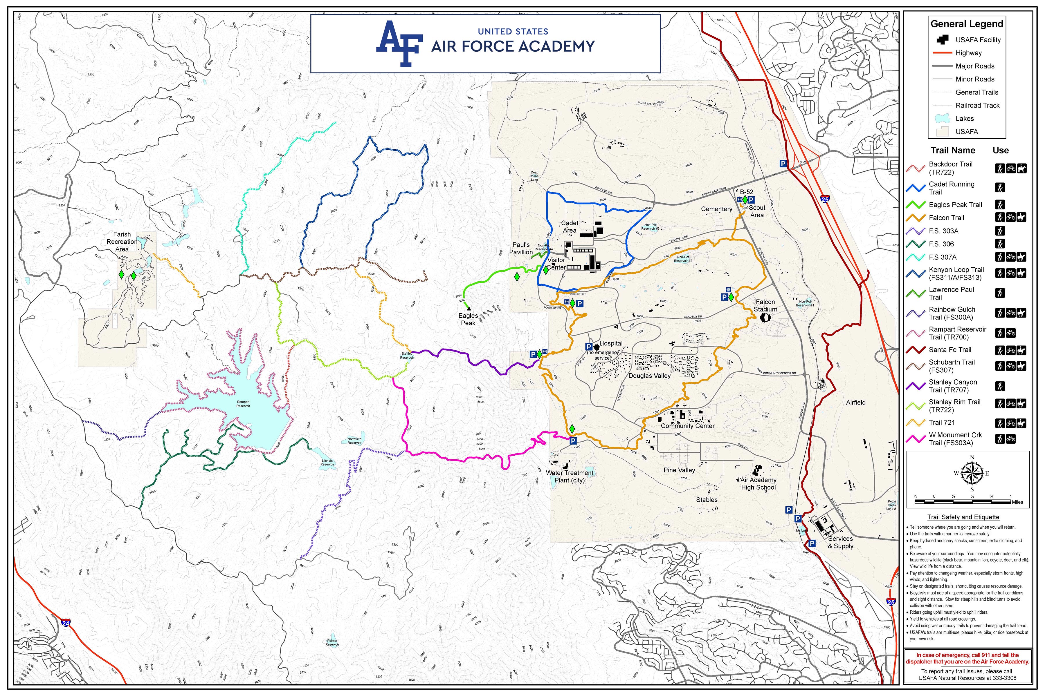
Hiking and Biking Trails
Santa Fe Trail Closure
The portion of the Santa Fe Trail that crosses the Academy installation is closed until further notice.
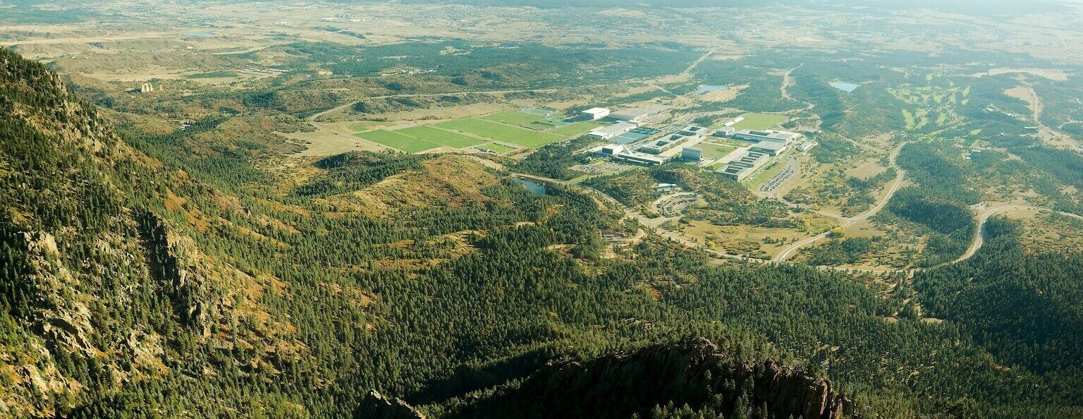
With some of the most challenging and rewarding trails in the Pikes Peak region, the U.S. Air Force Academy maintains over 30 miles of mostly single-track trails perfect for hiking, mountain biking, and horse riding.
Trails on the western side of the base connect to the Pike National Forest trails that allow for exploration of the Rampart Range. On the eastern portion of the base, the New Santa Fe Trail parallels Interstate 25 and Monument Creek for 7 miles connecting the Tri-Lakes area (Palmer Lake, Woodmoor, Monument) and northern Colorado Springs. View a map of the trails.
Farish Recreation Area is not open to the public and the trails are only accessible to eligible patrons, learn more.
Things to Know
- To enter the base, follow these directions.
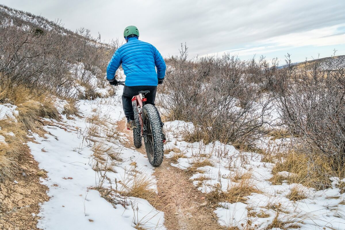
- Cyclists must wear helmets and ride at speeds appropriate for the conditions and in consideration of pedestrians.
- Bring adequate hydration and have a plan in the event of an emergency.
- Pay attention to changing weather conditions, especially fast-moving storm fronts, high winds and lightning.
- Wear appropriate clothing and shoes.
- Avoid trails that are excessively wet or muddy.
- Stay on the trails at all times and be aware of wildlife and other natural hazards.
- You are hiking at your own risk, so we recommend hiking in a group.
New Santa Fe Trail
Point-to-point: 6.9 miles through the Academy
Elevation gain: 1,213 ft.
Easy
Description: El Paso County’s Santa Fe Trail parallels Interstate 25 and Monument Creek for 6.9 miles through eastern portions of the Academy. Portions of the trail follow the historic Atchison, Topeka, and Santa Fe railroad, which was in-service from 1887 to 1971. The wide, gravel trail offers a panoramic view of the Rampart Range and Academy grounds, including the Falcon Football stadium and activity over Davis Airfield. It is wheelchair accessible, but users may require help in steeper sections since the trail surface is sand, crushed stone and gravel. Great for families. Dogs and horses are allowed; dogs must be on a leash.
Getting there: The parking lot outside the North Gate entrance (Exit 156 off I-25) is permanently closed, as of March 2022. Users can park at the Edmonson Trail Head, at 250 E Woodmen Road, and head north on the trail to the Academy. It is advised to avoid parking at the Ice Lake Trailhead because trains frequently block the egress from the parking lot, often for several hours or longer.
Falcon Spur Trail
Out and back: 1.4 miles
Elevation gain: <100 ft.
Easy
Description: This trail offers a quick, kid-friendly jaunt with vibrant views of nature and amenities for a family picnic. The Falcon Spur Trail is an easy 1.4 miles that begins near the North Gate B-52 display and Youth Camping Area. If you are looking for a slightly more challenging hike, this trail connects to the main Falcon Trail south of the cemetery and can easily be extended to 13.5 miles.
Getting there: Parking is recommended at the B-52 display, located on your left just inside the North Gate entrance. Public restrooms, trash cans, and picnic tables are located throughout the trail. Falcon Spur trailhead map
Falcon Trail
Loop: 13 miles
Elevation Gain: 1,466 ft.
Moderate
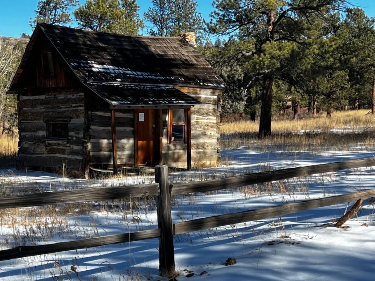
Description: The popular, heavily-trafficked trail provides stunning views of the natural and man-made beauty of the Academy. The trail crosses the road at several spots, providing options to make the hike shorter. About one mile into the trail on the east end of Douglass Valley housing, is the historic Burgess Cabin, formerly known as Capps Cabin. One of the oldest dwellings in the region, it was built in 1870 and named to the National Register of Historic Places by Department of the Interior. Five historic gravesites belonging to the Capps family lie adjacent to the cabin. Dogs must be leashed and riders must ride with a partner. A clockwise route is generally considered to be less strenuous for cycling.
Getting there: Parking is recommended at the north lot of Falcon Stadium. From the North Gate entrance, make a left at the B-52 aircraft display onto Stadium Blvd, following signs for Falcon Stadium. Make a right on Academy Blvd into large dirt stadium parking area. Parking is on right side of Academy Blvd where the dirt road and tree line meet. Public restrooms, port-a-john’s, trash cans, and picnic tables are located around the trail; and drinking water is available in the Community Center area. Falcon trailhead map
Stanley Canyon Trail
Out and back: 5.8 miles
Elevation Gain: 1,702 ft.
Difficult
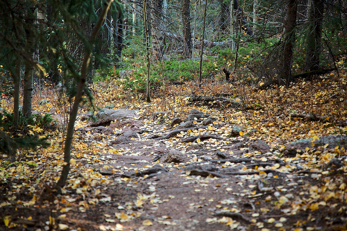
Description: The Stanley Canyon trail takes hikers from the parking lot near the Academy Hospital through Stanley Canyon to the Stanley Canyon Reservoir. The trail starts steeply through pine/oak and spruce/fir forest and then climbs more gradually along the Stanley Creek riparian area. Stands of aspen and grassy mountain meadows appear near the final approach to the reservoir. Offering a panoramic view of Colorado Springs and the surrounding area, as well as impressive rock formations, this is one of the most popular hikes up the Rampart Range.
The best times to use this trail are from May to October. Dogs must be leashed. Colorado Springs Utilities prohibits camping and open fires around the lake, but camping is allowed on the adjacent U.S. Forest Service land. Due to the state engineer’s concerns with the integrity and safety of the dam, Colorado Springs Utilities drained Stanley Reservoir in 2017 and has no plan to refill it.
Caution: Portions of the trail are very steep with loose footing, so hiking sticks/poles are strongly recommended. Ice formations across the steep, rocky crossings of Stanley Creek can be extremely hazardous.
Getting There: There is trailhead parking at the end of the unpaved road west of the hospital. Stanley Canyon trailhead map
Eagle's Peak Trail
Out and back: 3 miles
Elevation gain: 2,000 ft.
Exceptionally Difficult
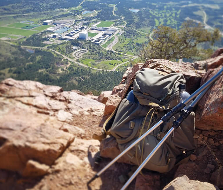
Description: A difficult hike with rewarding views, this trail is considered a rite of passage for Academy cadets. Identified on USGS maps as North Peak (9368′), Eagle’s Peak Trail is located in the Pike National Forest. Although the trail begins near the Academy’s western boundary, it is not officially recognized by the U.S. Forest Service and does not receive routine maintenance. Therefore, it is important for hikers stay on the established path to prevent further damage to the soil, vegetation, and wetlands. The trail climbs steeply (average 25% grade) with 2000 ft of elevation gain though dense spruce-fir forest along Goat Camp Creek to an open, rocky summit with expansive views of the Front Range, Academy campus, eastern Plains, Pikes Peak, and Tarryall Mountains. On clear days, downtown Denver and Denver International Airport are visible to the north.
Caution: Individuals hiking off-trail or climbing around the summit and face of North Peak have been seriously injured and killed. Academy cadets are prohibited by the Commandant of Cadets from climbing on North Peak’s steep exposure.
Getting There: Park at the Barry Goldwater Visitor’s Center, located at 2346 Academy Drive. A short walk slightly north will take you to a dirt road (Pavilion Road) on your left hand side. Continue west on Pavilion Road to the trailhead on your left. Eagle’s Peak trailhead map
Trails Map